Log in
All resources
Create a design
53,698 Free Images of German Language Maps
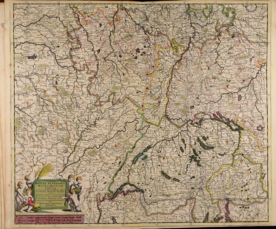
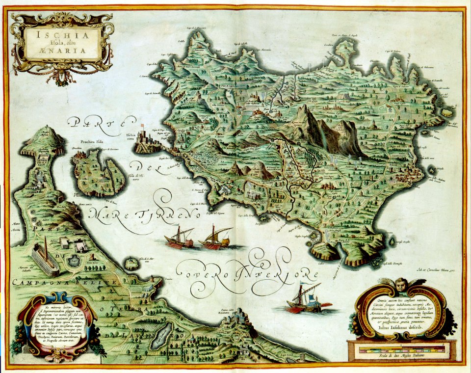
maps made in the 17th century
atlantis magni tomus tertius (biblioteca comunale di trento)
atlas van der hagen
maps made in the 18th century
maps with cartouches
gerard valck
atlas van der hagen (volume 3)
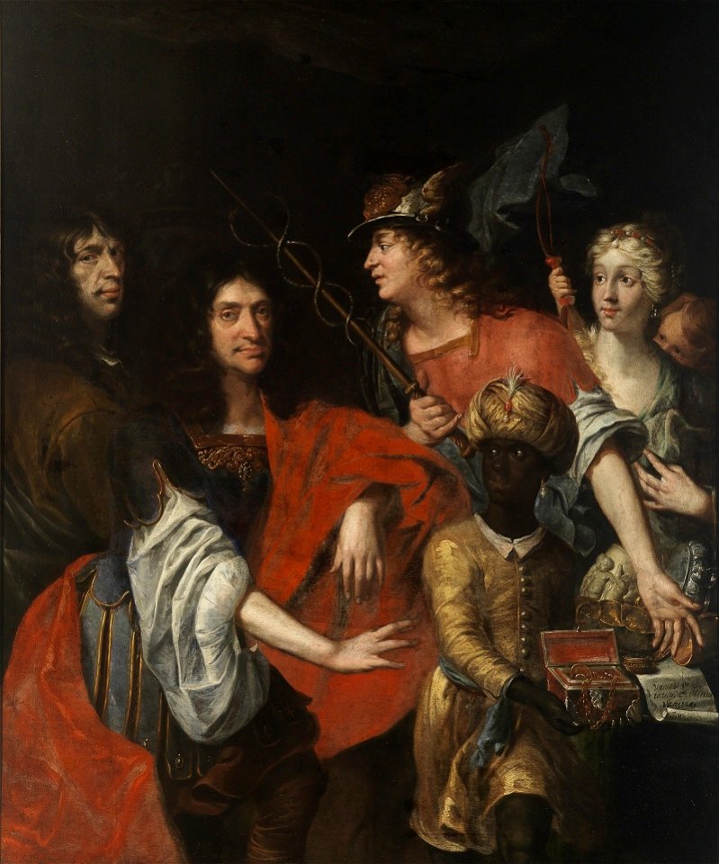
german paintings in the neue pinakothek
artworks without wikidata item
artworks with known accession number
paintings in staatliche kunsthalle karlsruhe
counts and countesses of hanau
19th-century paintings in the hamburger kunsthalle
german paintings in the hamburger kunsthalle
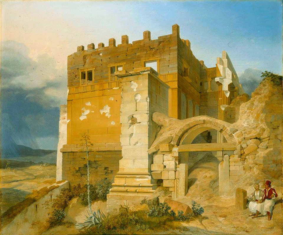
paintings of the acropolis of athens
1830s paintings from germany
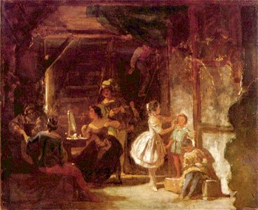
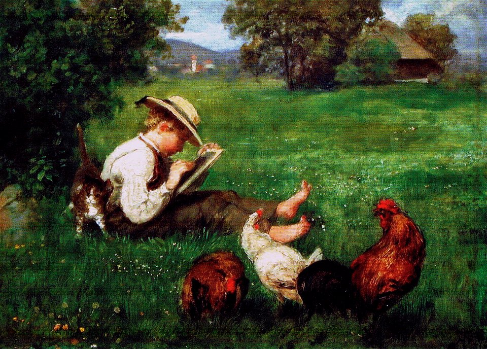
paintings by carl spitzweg
actors in art
german paintings in the wallraf-richartz-museum
portraits of ferdinand hodler
johann erdmann hummel
guitarists in art
paintings by johann christian reinhart
people at fountains in art
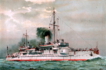
sms hagen (ship
1893
sashes of chivalric orders in portrait paintings
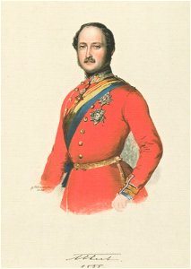
prince consort
watercolor paintings of flowers
paintings of peonies
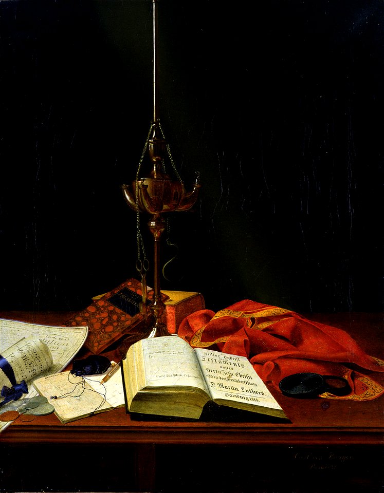
still-life paintings of kitchenware
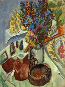
paintings by ernst ludwig kirchner
people with lions in art
anvils in art
paintings by carl spitzweg
school children in art
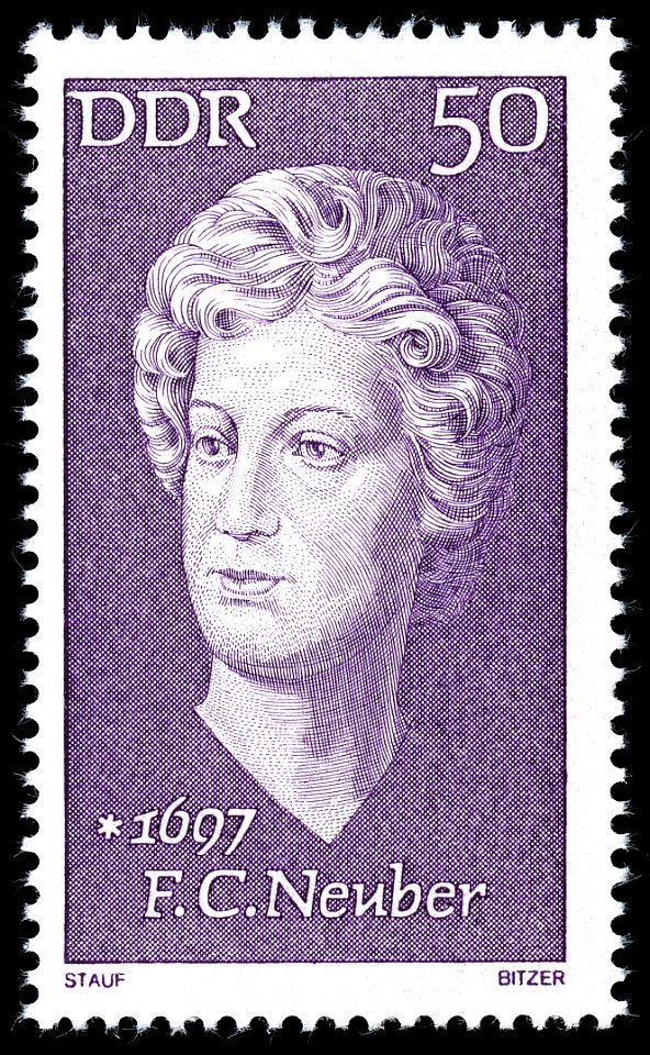
women on stamps of germany
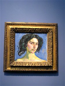
margot bitzer
16th-century paintings of madonna lactans
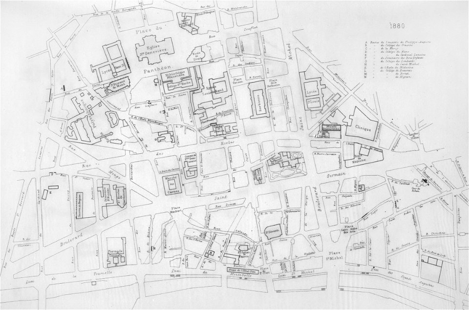
london
children's art
1873 paintings
german paintings in the städel
1870s portrait paintings
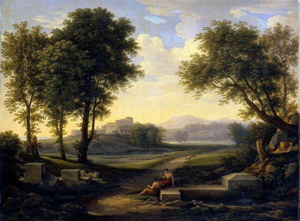
johann martin von rohden
paintings of tivoli
german paintings in the rijksmuseum amsterdam
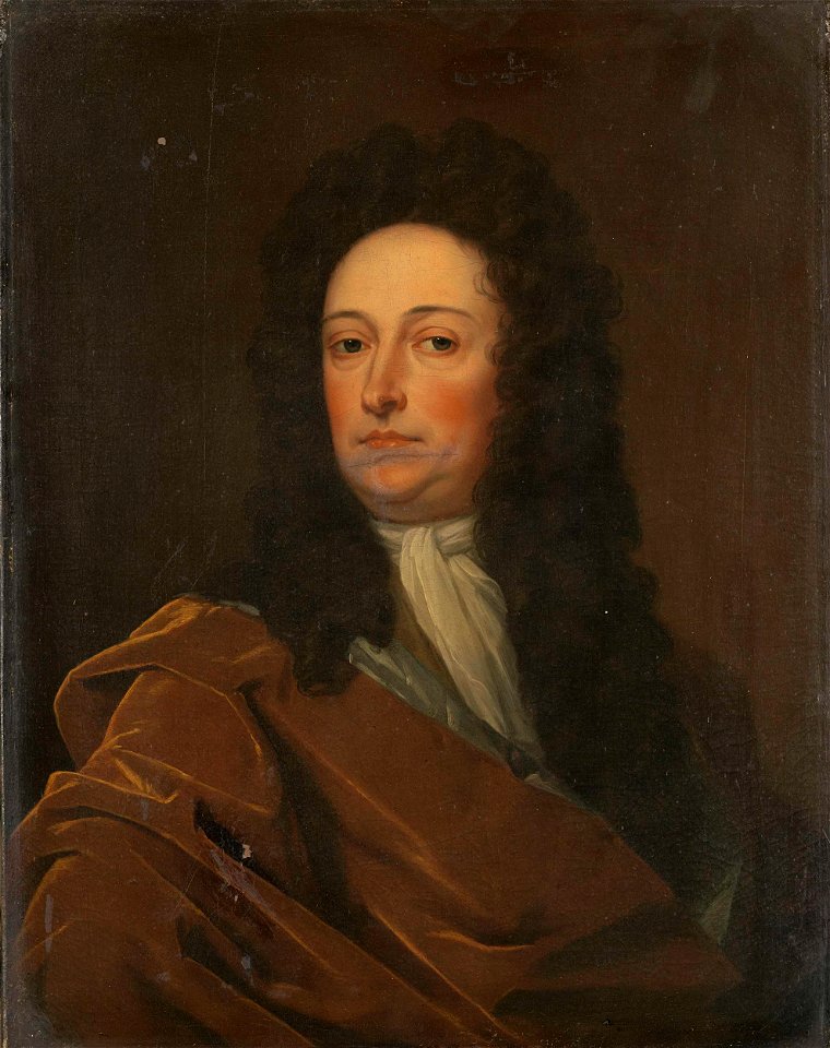
male portrait paintings by godfrey kneller
artworks with known accession number
artworks without wikidata item
artworks with known accession number
artworks without wikidata item
artworks with known accession number
artworks without wikidata item
artworks with known accession number
artworks without wikidata item
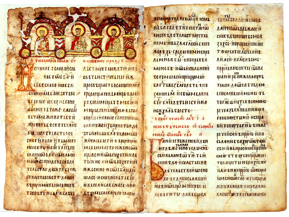
old church slavonic
serbs of montenegro
books in tibetan
chortens in art
films of russia and the soviet union to be categorised by studio
1926
eran laor cartographic collection
joan blaeu
eran laor cartographic collection
willem blaeu
maps by willem and johannes blaeu
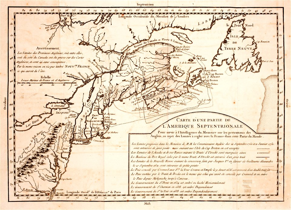
hudson valley
carte de france by guillaume delisle (1721)
philippe buache
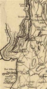
fort ticonderoga
john burgoyne
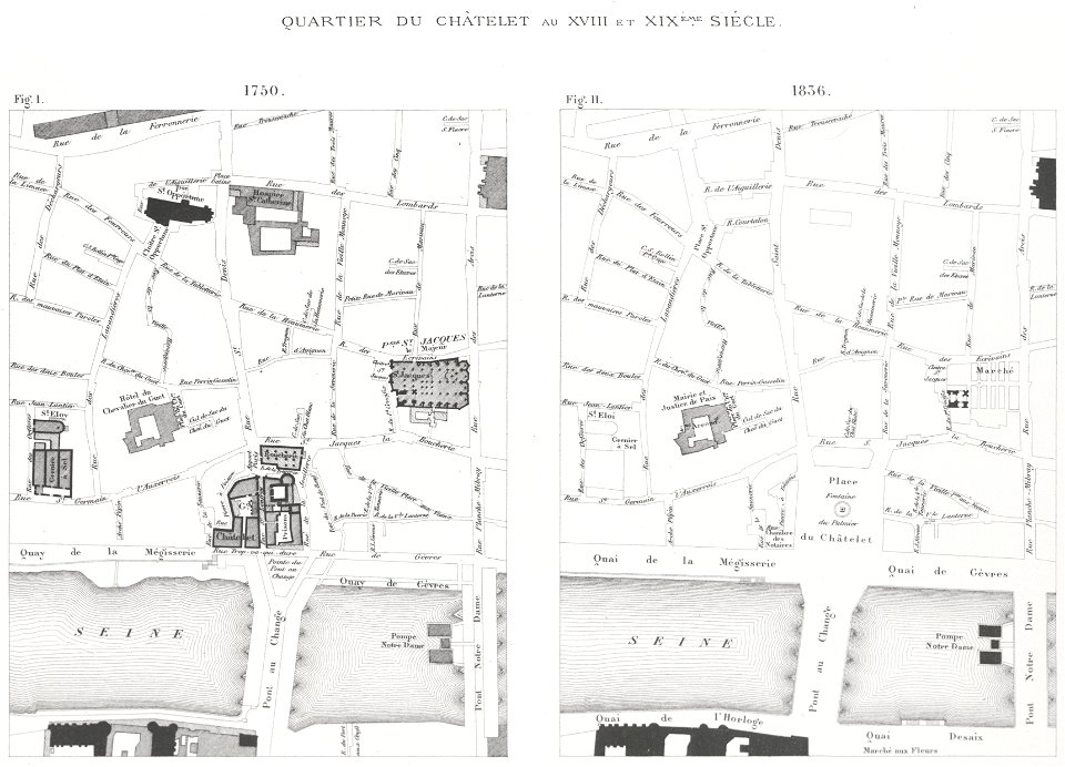
lithographs of paris
grand châtelet
prints from mémoires des commissaires du roi et de ceux de sa majesté britannique at the peace palace library
jean ignace de la ville
merksem
lillo
maps made in the 17th century
gerard valck
dutch 18th-century prints in the rijksmuseum amsterdam
hendrik de leth
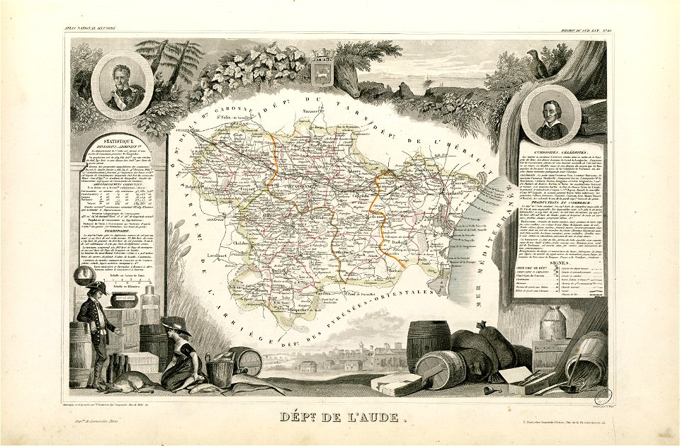
coats of arms of cities in aude
coats of arms of aude
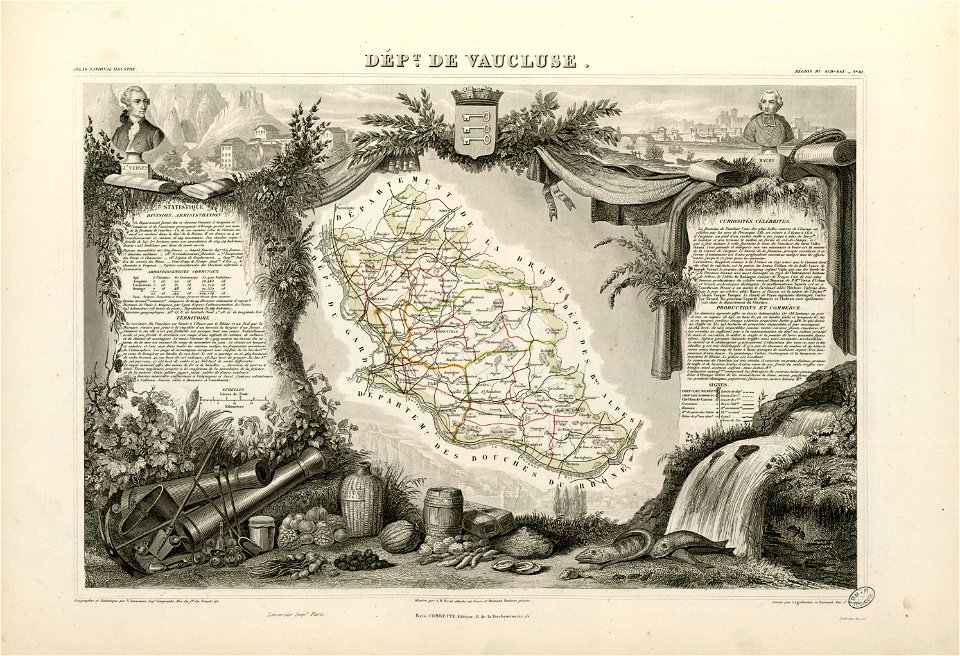
coats of arms of cities in vaucluse
works after joseph vernet
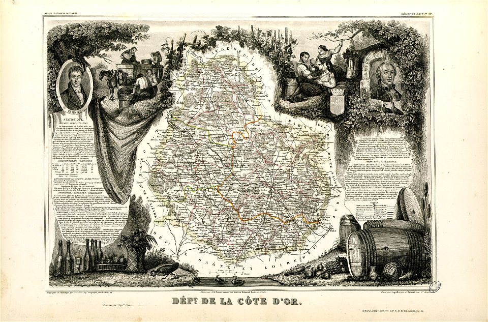
old maps of côte-d'or
lazare carnot
1867 engravings
new york city
lithographs of paris
université de paris
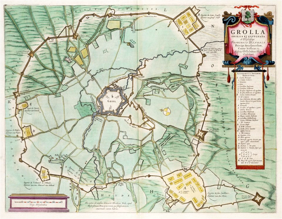
circumvallatielinie (groenlo)
coats of arms on maps
18th-century maps of antarctica
1741 maps
1474 maps
1928 maps
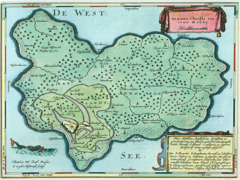
helgeladt in annis christi 800
1300 & 1649
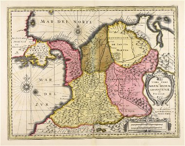
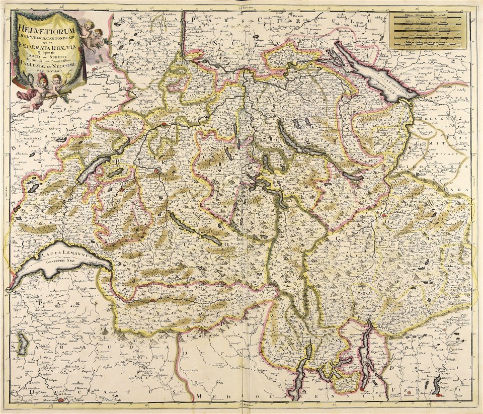
maps made in the 18th century
gerard valck
maps made in the 18th century
gerard valck
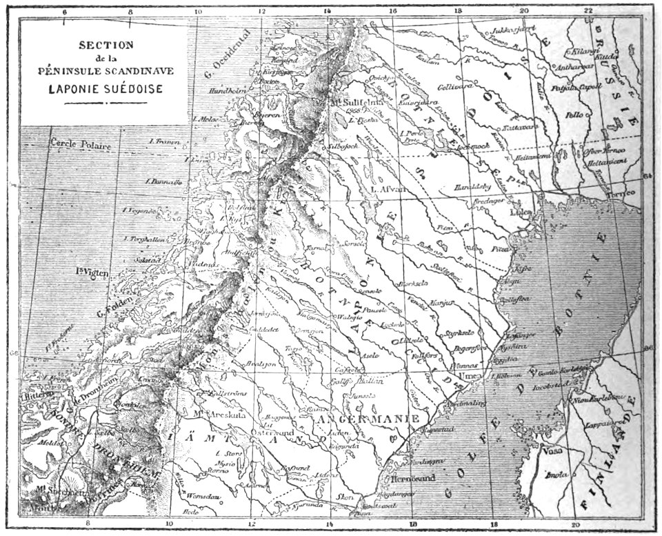
19th-century maps of sweden
sweden in the 1850s
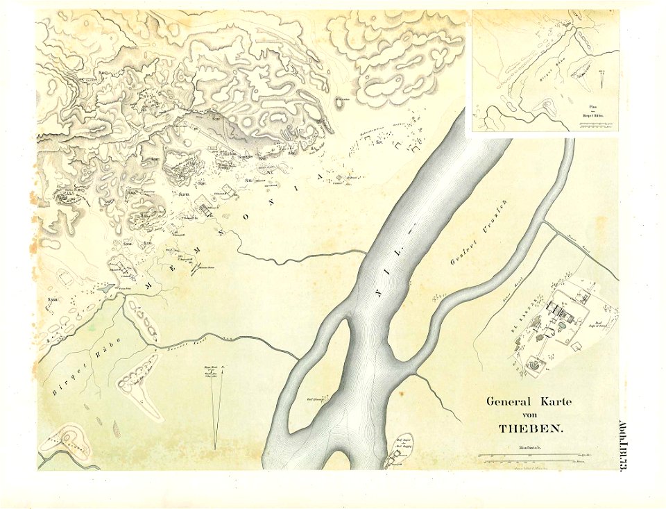
karnak temple complex
thebes
maps made in the 17th century
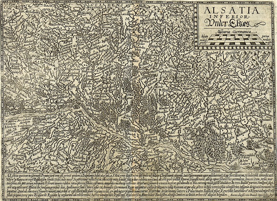
old maps of alsace
maps made in the 17th century
jan janssonius
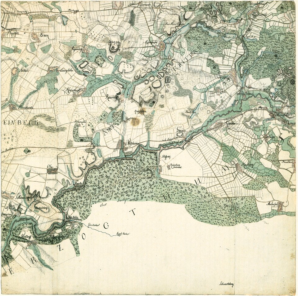
braunschweig in the 1880s
old maps of braunschweig
grand
bill
cornell university library
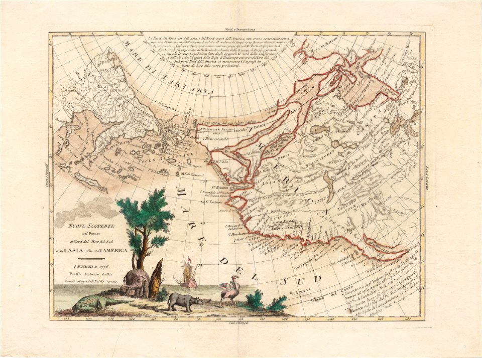
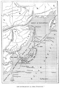
north pacific
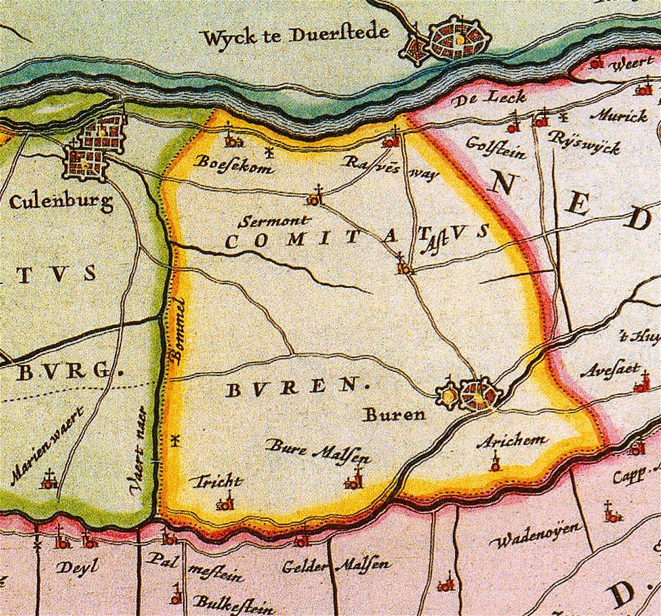
old maps of gelderland
gelderland
maps made in the 17th century
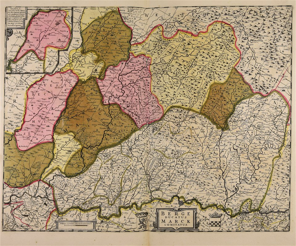
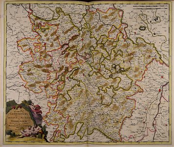
maps of the county of mark
maps made in the 17th century
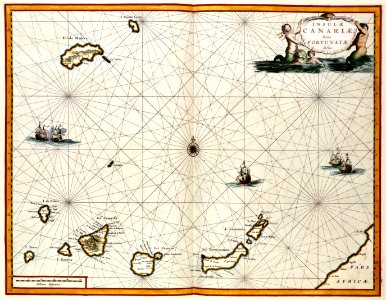
old maps of europe
old maps of the canary islands
1667
illustrations from the sea serpent by george roux
20th-century maps of japan
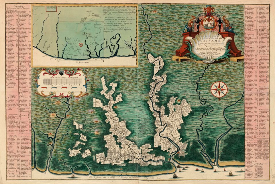
atlas van der hagen
copper engraving
maps with cartouches
atlas van der hagen
maps with cartouches
copper engraving
17th-century maps of france
maps with cartouches
maps with cartouches
old maps of malta
maps with cartouches
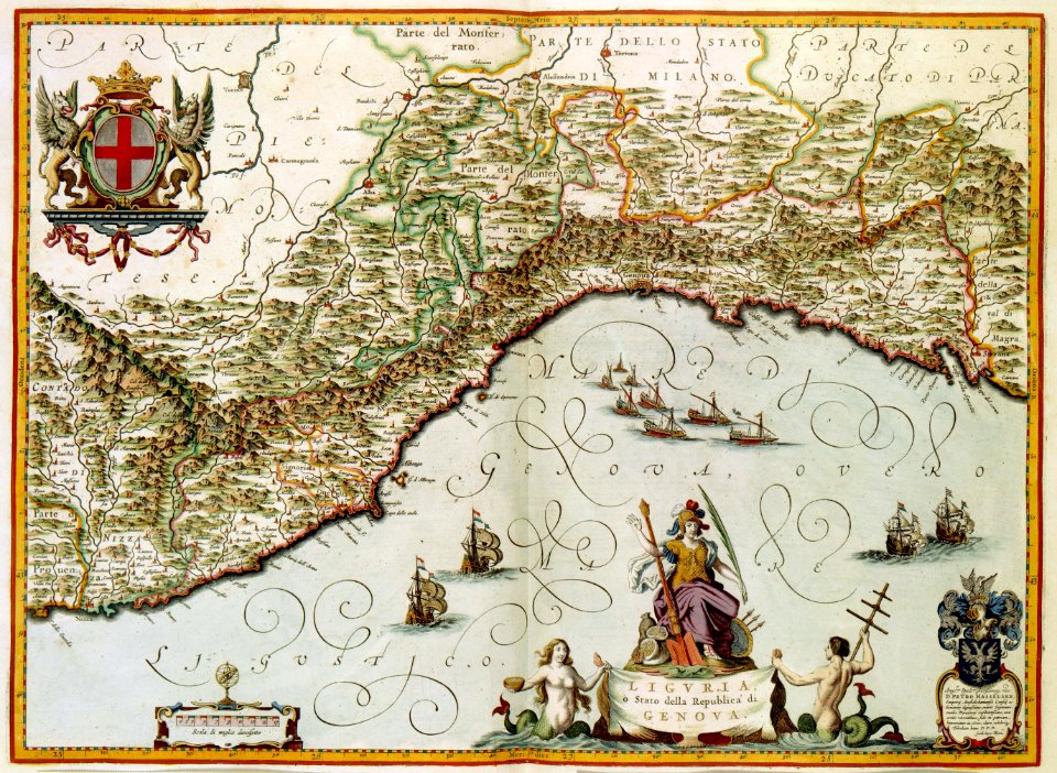
old maps of genoa
maps with cartouches
atlas van der hagen
maps with cartouches
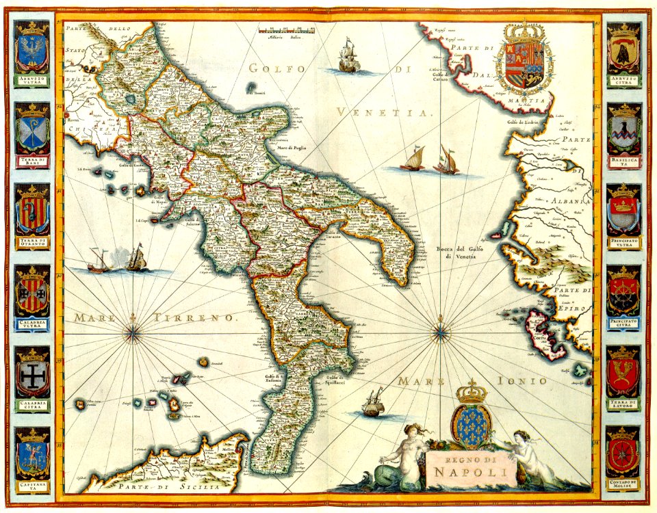
old maps of italy
atlantis magni tomus tertius (biblioteca comunale di trento)
maps made in the 18th century
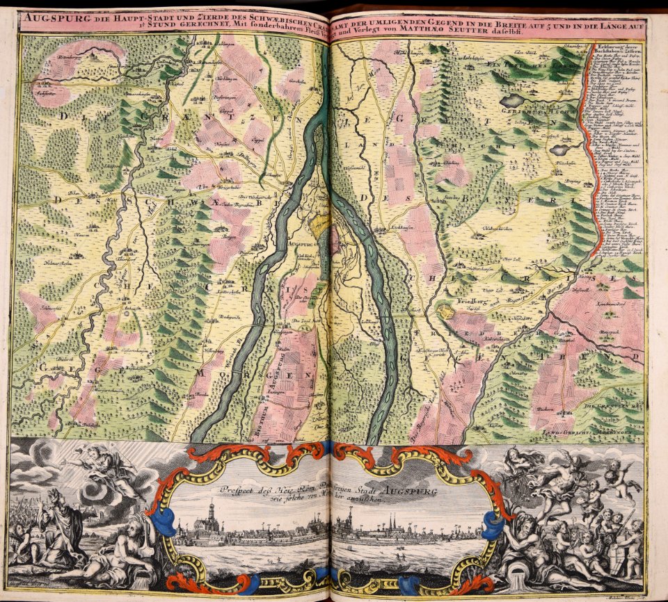
wagner & debes
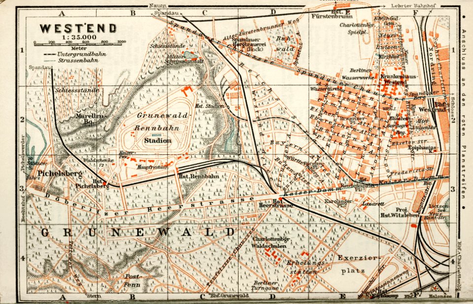
1914 in berlin
collections de la bibliothèque nationale et universitaire de strasbourg
matthias quad
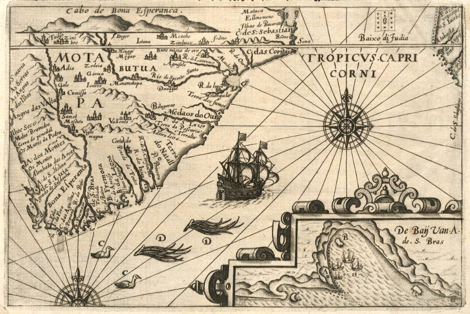
maps of the dutch east india company - madagascar
1598
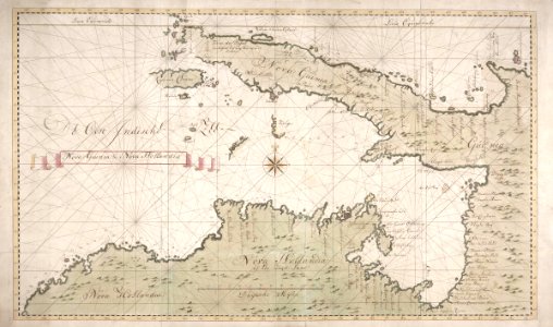
new holland (australia)
1720s
maps of the dutch east india company - sri lanka
1765
trịnh lords
1665
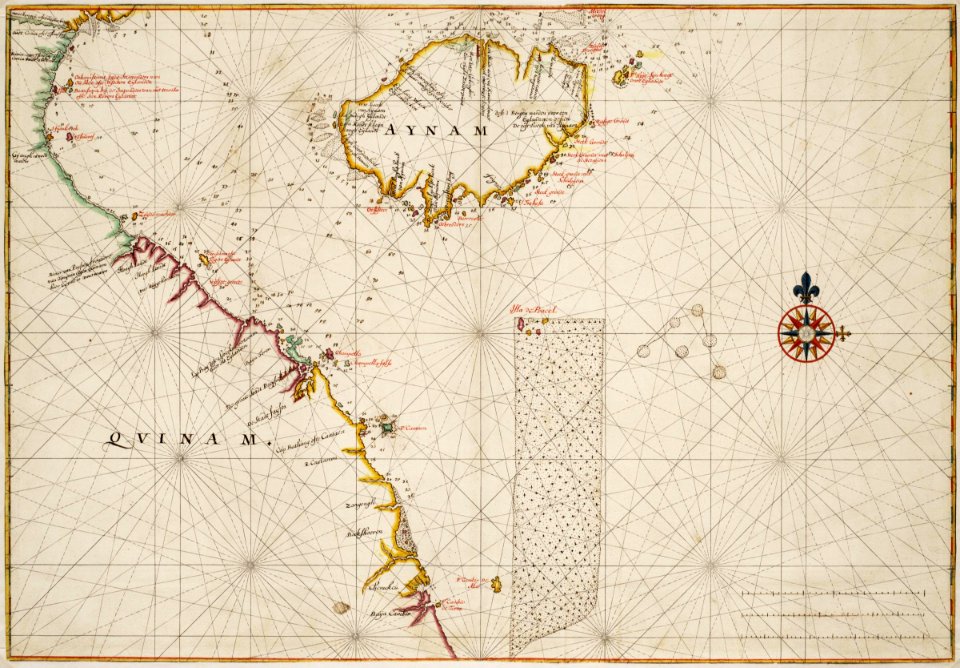
18th-century maps of indonesia
banda islands
batavia
1740
18th-century maps of indonesia
1744
maps made in the 18th century
gerard valck
atlantis magni tomus tertius (biblioteca comunale di trento)
maps made in the 18th century
maps made in the 18th century
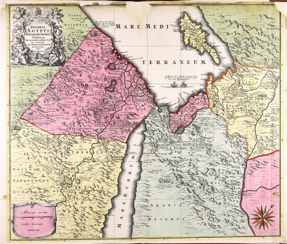
1720s maps of egypt
maps made in the 17th century
cornelis danckerts (i)
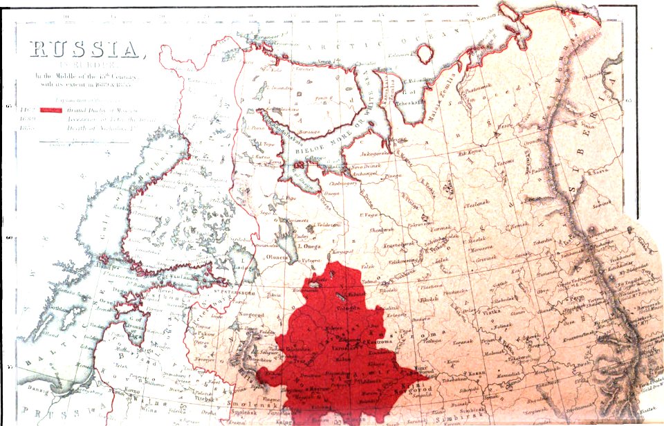
old maps of the tsardom of russia
history of valuyki
maps made in the 17th century
jan janssonius
voyage pittoresque de la grèce
i̇zmir in the 18th century
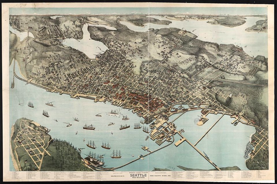
lithographs of cities in the united states
1891 in seattle
geographical atlas for the 5-6 grades of secondary school (1941)
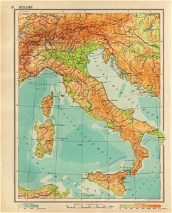
old maps of italy
maps made in the 18th century
belgio
atlantis magni tomus primus (biblioteca comunale di trento)
maps made in the 17th century
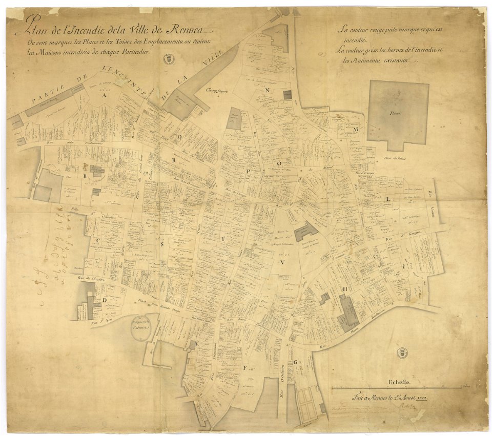
great rennes fire of 1720
old maps of rennes
maps made in the 18th century
gerard valck
1822 in bavaria
ehrenbürg
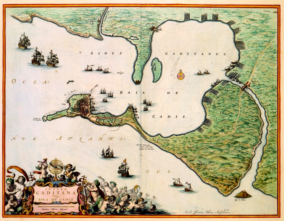
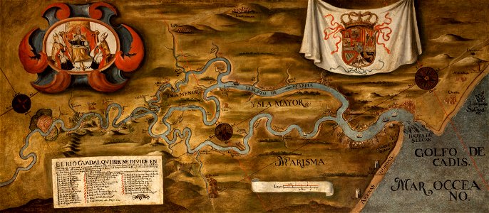
guadalquivir
1760 maps
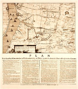
prints from manesson travaux de mars at the peace palace library
old maps of béthune
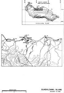
henderson field (guadalcanal)
solomon islands
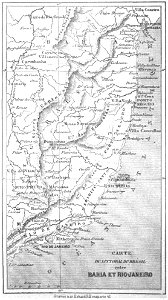
19th-century maps of brazil
maps by alexandre vuillemin
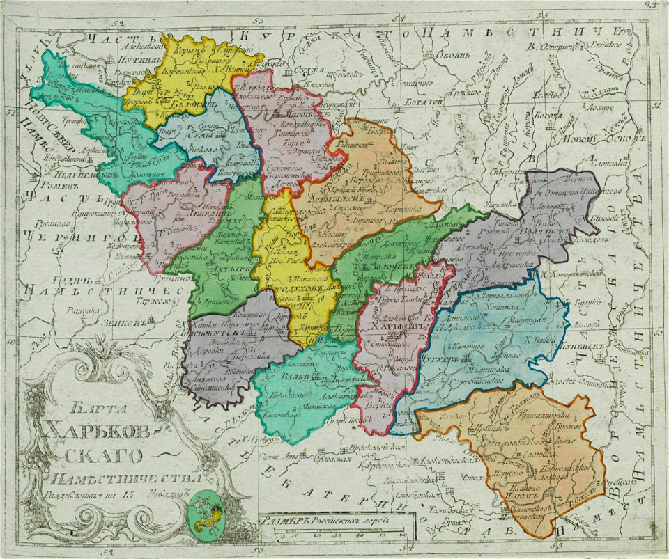
small atlas of the russian empire (1792)
kharkov viceroyalty
dutch 17th-century prints in the rijksmuseum amsterdam
netherlands
pictorial history of the russian war 1854-5-6 by george dodd
1856 maps of georgia
old maps of the russian empire
1856 maps
maps made in the 17th century
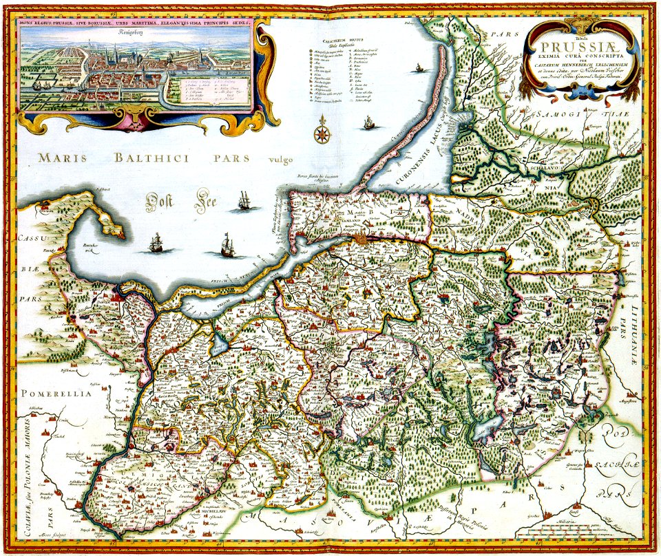
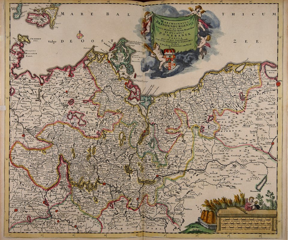
old maps of brandenburg
7801 - 7900 of 53,698
Next page
/ 537